In this two-part series of workshops participants will learn the art and science of DIY aerial mapping using kites: fly a kite, map an area of land, learn how to make a composite aerial photograph using MapKnitter.org, how to interpret and use aerial photos, and learn from examples of how DIY mapping has been used around the world by the Public Laboratory for Open Technology & Science community.
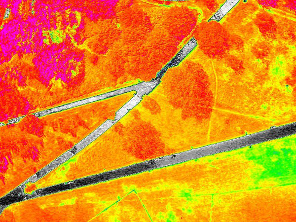
In Do-It-Yourself aerial mapping Part 1 we’ll learn how to use kites to gather aerial photographs over the surrounding area. We’ll use both an ordinary camera and a DIY Near Infrared (NIR) camera to capture data on plant health. No prior experience required!
What to bring: wind breaker as protection from the elements; sunglasses (we’ll be staring up at the sky a lot!); sunscreen and/or hat (that won’t fly away!); a water bottle; a notebook; a camera (on phone works) to document our adventure. Optional: an SD card to collect your own photos.
In Do-It-Yourself aerial mapping Part 2 (indoors) we will learn how to stitch together and interpret the images that we collected in Part 1 of the workshop. Bring your laptop.
Cindy Regalado is part of Public Laboratory for Open Technology & Science: a community that develops and applies open source tools to environmental exploration and investigation. As an open community of contributors from around the world, they collaboratively build a set of experimental open source tools and a network of local groups. They are creating an open data archive and free and open source software (from map making to spectral analysis). The platform publiclab.org helps them to build collaborations, practical knowledge, and provides organisational capacity.